3D Mobile Mapping
What we do

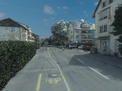
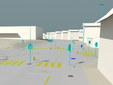
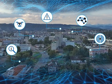
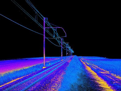
Thanks to the latest, innovative technology, entire cities or regions can be mapped in a very short time. Image and Lidar data can be recorded with engineering precision using various sensors.
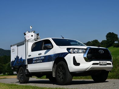
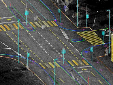
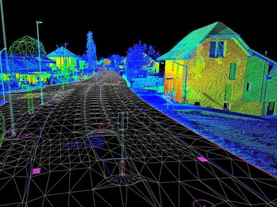
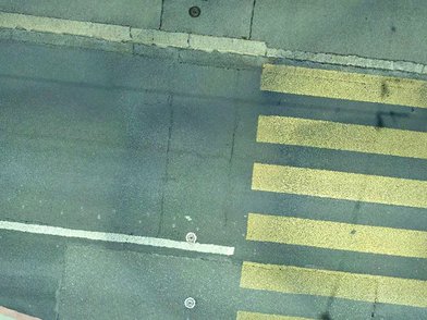
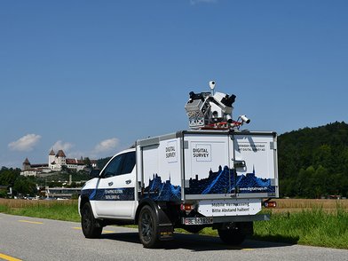
Our system uses a 360° panoramic camera and various other cameras that can be individually aligned to create high-resolution images of the road surface within a distance of 3 to 5 m. The integrated laser scanning system consists of two scanners of the latest generation, which are placed at 90° between each other, and capture 2 million points/sec. This offers the unique opportunity to capture reality without shadowing. The recordings can be made at a driving speed between 5 and 130 km/h, depending on the carrier vehicle used.
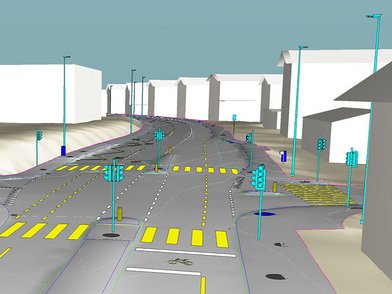
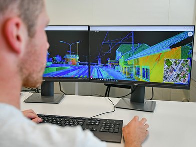
The gathered data is georeferenced and can be improved to match local control points. Getting a highly accurate image of reality on the screen is the basis of countless possibilities for using this data and refining it into high-quality engineering products.
Our services
Smart Cities
Smart Cities

3D planning fundamentals
3D planning fundamentals

digitalMAPS
digitalMAPS

Road Surface Analysis
Road Surface Analysis

Infrastructure objects
Infrastructure objects

Road Marking
Road Marking

3D Lidar Data
3D Lidar Data

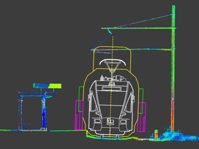
Clearance profile analysis
Clearance profile analysis

Ortho images
Ortho images

Your point of contact
Marc Keller
Manager / Mapping Solutions
marc.keller(at)digitalsurvey.ch
+41 34 420 30 51
Thomas Lüthi
Managing Director
thomas.luethi(at)digitalsurvey.ch
+41 34 420 30 56
Gil Alves
Project Manager / International Mapping Solutions
gil.alves(at)digitalsurvey.ch
+41 34 420 30 64

![[Translate to English:] digital survey AG [Translate to English:] digital survey AG](/fileadmin/_processed_/3/3/csm_Headerbild_d5996fd04f.jpg)
