Terrestrial laser scanning
What we do

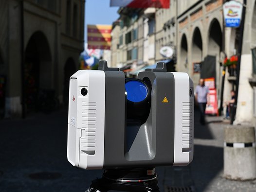
An established technology, originally based on architectural surveying, it has now spread to all possible fields of surveying and offers the ideal complement to 3D Mobile Mapping.
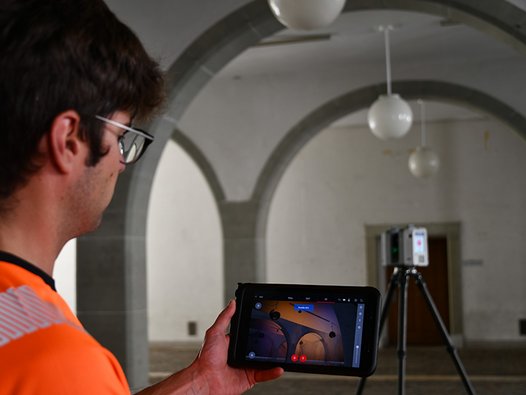
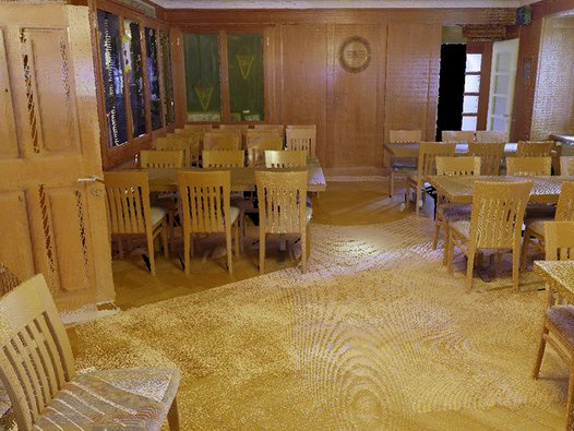
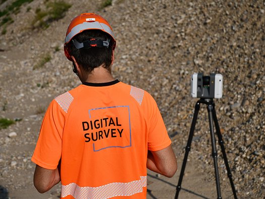
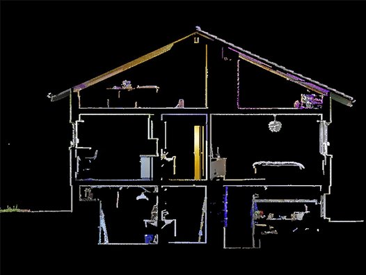
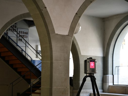
A laser scanner is ideal as a complement to recordings with the 3D Mobile Mapping System. Thanks to its compactness and unbelievable speed, also entire tunnels, buildings, bridges or excavations can be scanned with the latest generation of devices. This opens up new possibilities in data analysis. Instead of using individual point representations, the geometry of the desired objects is now extracted and modelled from millions of points.
Our services
3D Point cloud acquisitions and modelling
3D Point cloud acquisitions and modelling

Deformation analysis of walls and roads
Deformation analysis oF walls and roads

Documention of monuments and cultural assets
Documention of monuments and cultural assets

DIGITALMAPS
DIGITALMAPS

Building scanning and photo documentation
Building scanning and photo documentation

Laser inventorying
Laser inventorying

Your point of contact
Marc Keller
Geschäftsleitung / Mapping Solutions
marc.keller(at)digitalsurvey.ch
+41 34 420 30 51

![[Translate to English:] digital survey AG [Translate to English:] digital survey AG](/fileadmin/_processed_/3/3/csm_Headerbild_d5996fd04f.jpg)
