BlueMAP: Web-GIS for the future
BlueMAP offers an optimal working environment with innovative capture on mobile devices, integration of proven 3D tools and georeferenced videos.
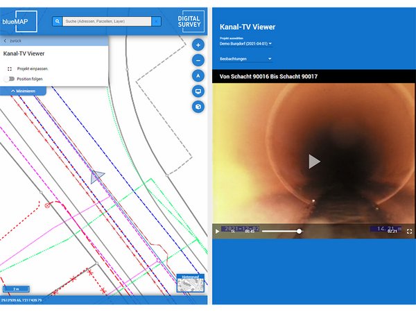
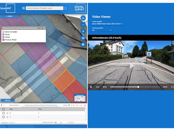
Inner piping mapped videos linked to the cadastral data can be viewed interactively with the web GIS. Easy access via the map or the captured observations will bring you to the desired video position. Another application of geo-referenced videos is road surveys. You can view mobile mapping videos in fast forward mode, and at critical points you can examine the road condition in high-resolution orthophotos in the web GIS. For more detailed analyses, the interactively integrated digitalMAPS viewer can be used to evaluate the recording data of a road trip or terrestrial laser scans. In addition, the infrastructure can be visualised as a 3D scene in the 3D viewer. Be it the pipeline cadastre under the road or the road infrastructure with, signs and other objects.

![[Translate to English:] digital survey AG [Translate to English:] digital survey AG](/fileadmin/_processed_/3/3/csm_Headerbild_d5996fd04f.jpg)


